




01 Jul How Technology Is Transforming Wildlife Conservation in Africa’s Game Reserves
For many tourists, their first impression of game rangers and reserve managers is one of tough, bush-wise people relying on sturdy 4x4s, radios, and, for the well-resourced, helicopters, to do their work.
These tools remain the backbone of conservation management. But increasingly, those running game reserves today are turning to drones, thermal imagery, AI, and other technology to counter poaching, monitor animal movements, count game, and even track staff vehicles.
First introduced at smaller private reserves near the Kruger National Park (KNP), this technology is rapidly becoming essential across the continent, now used in remote areas of Zimbabwe, Zambia, Mozambique, and beyond.

Drones and AI: A New Approach to Game Counts
Earlier this year, the Sabi Sand Game Reserve and the Timbavati Private Game Reserve, which together conserve 100,000 hectares along the KNP’s western boundary, ran a groundbreaking test game census using drones. Over five days, the drones flew 11,000 kilometres across the reserves, capturing 1.85 million photographs.
AI models then analysed the images to calculate species and animal numbers. The technology isn’t perfect yet: the programmes are still learning to distinguish males from females in some species, and struggle to tell smaller animals like duiker and steenbok apart. Even so, the trial, dubbed Project Gaia, showed that technology can deliver major time savings and improved accuracy in game counts.
Project Gaia’s managers say.As protected areas expand and operational costs rise, scalable and data-driven tools are becoming essential for monitoring wildlife accurately across large landscapes,
At scale, this approach has the potential to transform how reserves conduct game counts, allocate conservation resources, and track ecological change over time.
Real-Time Tracking with EarthRanger
In Zimbabwe’s Hwange National Park and surrounding areas, elephants fitted with satellite tracking collars are monitored in real time by the EarthRanger system, which alerts rangers if an animal strays into a buffer zone close to villages. This gives rangers time to herd the animals away, or at the very least, warn nearby communities.
EarthRanger, used in 80 countries, pulls data from tracking collars and other sources into a single system, displayed on monitors in pictorial or diagrammatic form. It relies on GPS, but can also run on LoRaWAN (low-power, wide-area networks), a Wi-Fi-type network built using equipment installed on purpose-built towers across large areas.
The same technology allows programmers to create “geofences,” virtual boundaries that trigger an alert the moment a collared animal crosses a predetermined line.
Fighting Poaching with Sensors and Thermal Cameras
Technology is also central to the fight against poaching. In South Africa, some physical fences are fitted with sensors that trigger a real-time alert on a control room screen the moment a breach occurs.
Thermal cameras, which detect human body heat at night, and motion-detector cameras are positioned at strategic points like waterholes and linked to control rooms for round-the-clock monitoring. In some areas, anti-poaching teams also deploy thermal-equipped drones to detect human heat signatures after dark.
Why Technology Still Needs People
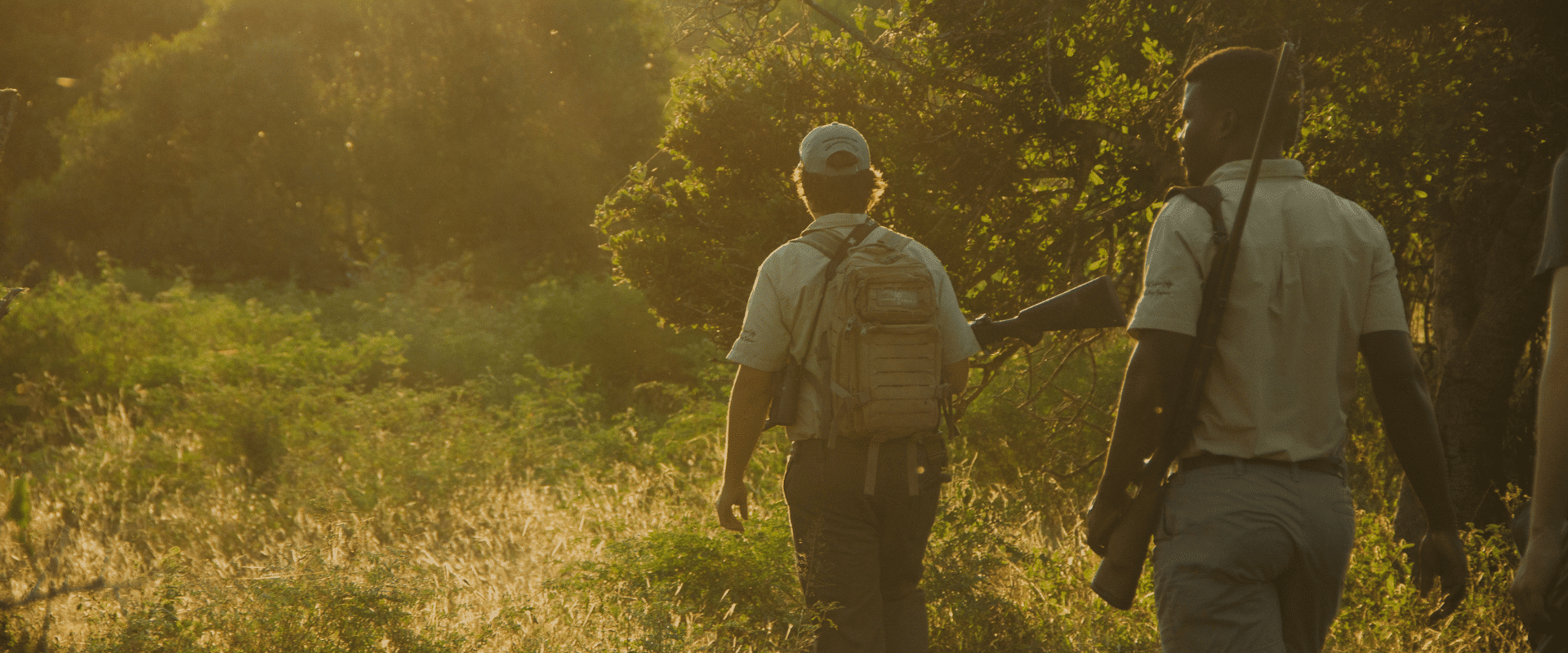
For all its benefits in conservation management and reducing poaching, experienced rangers are quick to point out that old-fashioned “boots on the ground,” and genuine relationships with the communities living in and around wildlife areas, remain the bedrock of conservation.
‒ Conservation Manager working near Hwange National ParkFoot patrols, chatting with villagers, talking to everyone involved, is still essential. Tech builds on what people already know. It's fantastic, but it can't work without people.
FAQ
How is AI used in wildlife conservation?
AI is used to analyse drone-captured images and identify and count animal species. In a recent trial near Kruger National Park, AI models processed 1.85 million photographs from a five-day drone survey to calculate wildlife numbers across 100,000 hectares.
What is EarthRanger?
EarthRanger is a wildlife monitoring system, used in 80 countries, that collects data from GPS tracking collars and other sources and displays it in real time, helping rangers respond quickly to animal movements and potential poaching threats.
How do reserves detect poachers at night?
Reserves use thermal cameras and thermal-equipped drones to detect human body heat signatures after dark, often linked to a control room for real-time monitoring, alongside sensor-fitted fences that flag breaches immediately.
